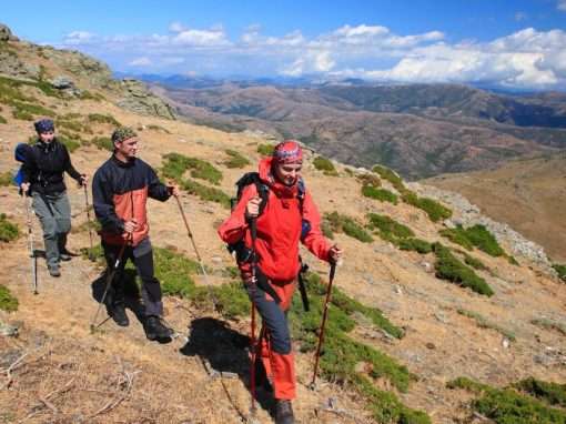
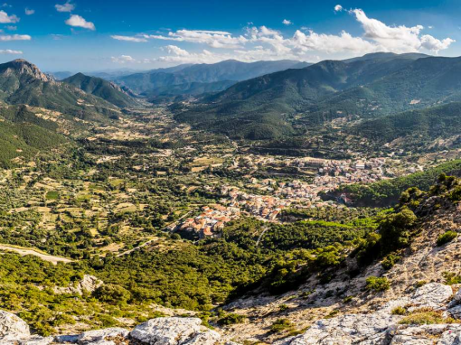
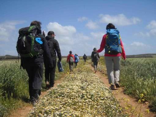
It embodies the soul of the landscapes of the Sulcis-Iglesiente region and the Guspinese area, where mountains rich in metal deposits, a local resource for centuries, overlook a long and splendid coast. The Santa Barbara mining route (SBMR) ‘touches’ the places of worship dedicated to the protector of miners, extending in loop-form along paths, mule tracks and disused railways: 30 stages over a total of 500 kilometres. With Iglesias as a departure point, the path connects the sites of the Geo-mining park of Sardinia, starting from Monteponi in the first stage. The itinerary initially heads towards the coast and follows its outline. You’ll be walking over the oldest rocks in Europe with a view of the Pan di Zucchero (meaning Sugarloaf) and Nebida. From the sand dunes of Piscinas you enter the inland area, passing by the mines of Ingurtosu and Montevecchio. This area of Sardinia is rugged, made of basalt and granite, and at the same time green, with boundless holm oak woods, like the Marganai forest. Every day, we discover ‘ghost’ villages as well as evidence of the historic mining period and of very distant times. Returning towards the coast, we head towards Sant’Antioco, heir of the ancient Sulky, surrounded by lagoons and salt pans. A leap in time leads to the rationalist architecture of Carbonia and to the mines of Serbariu. The last stages, before returning to Iglesias, are Portoscuso and Carloforte, one of the most beautiful villages in Italy and the only town on the island of San Pietro.
PATH 100 TOWERS
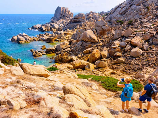
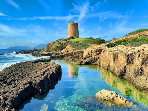
The coastal landscape of Sardinia is dotted with watchtowers largely built during the Spanish domination in the 17th century. They stand on promontories overlooking the sea and offer unforgettable views. Many of them are still in excellent condition and sometimes host museums and exhibitions. The Cammino 100 Torri (Path of 100 Towers) connects them, completing the entire circumnavigation of ...